
Great Stones Way 2 - Rainy Road to Avebury
- Robert I. X. Jones
- Oct 9, 2021
- 6 min read
Updated: Sep 20, 2025

On Saturday, October 2nd, I wake up to a sky that looks almost impossibly grey after the warm autumnal hues of the previous evening. Heavy rain is forecast and it is already arriving as I make my way across the road to to grab some breakfast and a coffee in The Sun Inn. Today's route - around 16 miles - seems straightforward enough, and the first part, at least, looks relatively sheltered. It is getting up onto the Ridgeway in the afternoon that I suspect will prove the true test of my new waterproofs.
At nine o'clock, I venture out along the path to Coate Water. So far precipitation is light, though the wind is cold and blustery. I realise that, with my hood up, I can barely see anything and spend a few minutes sorting my gear. Finally I realise that putting my cloth cap on under my hood prevents it from falling down in front of my eyes. This is good, because immediately there are things to look at.
The Lawn estate lakes were delightful, but the vast wooded lakes of Coate Water are on another scale altogether, even if we know from Georgian archaeology that creation of the first one as a canal reservoir in the 1820s submerged much fascinating Neolithic material. At the corner of the main lake looms the extraordinary diving platform, one of those defiantly dated monumental structures of the none-too-distant past (erected1935) that have taken on an almost science-fictional strangeness. One wonders what future archaeologists might make of it. Deep encrusted with decades worth of barnacles and rust it has long been deemed far too dangerous to set foot upon, let alone dive from.

In my childhood, one could hire a small launch and get up close to it but sadly, no more - not that anyone sane would want to venture out in an open boat in this weather. At the far end of the lake I veer off into the wood, following an abandoned railway track before crossing the motorway on a brutalist bridge of the kind widely denounced as hideous. I actually enjoy winding upwards on its bold concrete spirals and am rewarded at the top with a fine farewell vista of rainy fields and trees. From this vantage point, Swindon appears little short of a rural paradise.
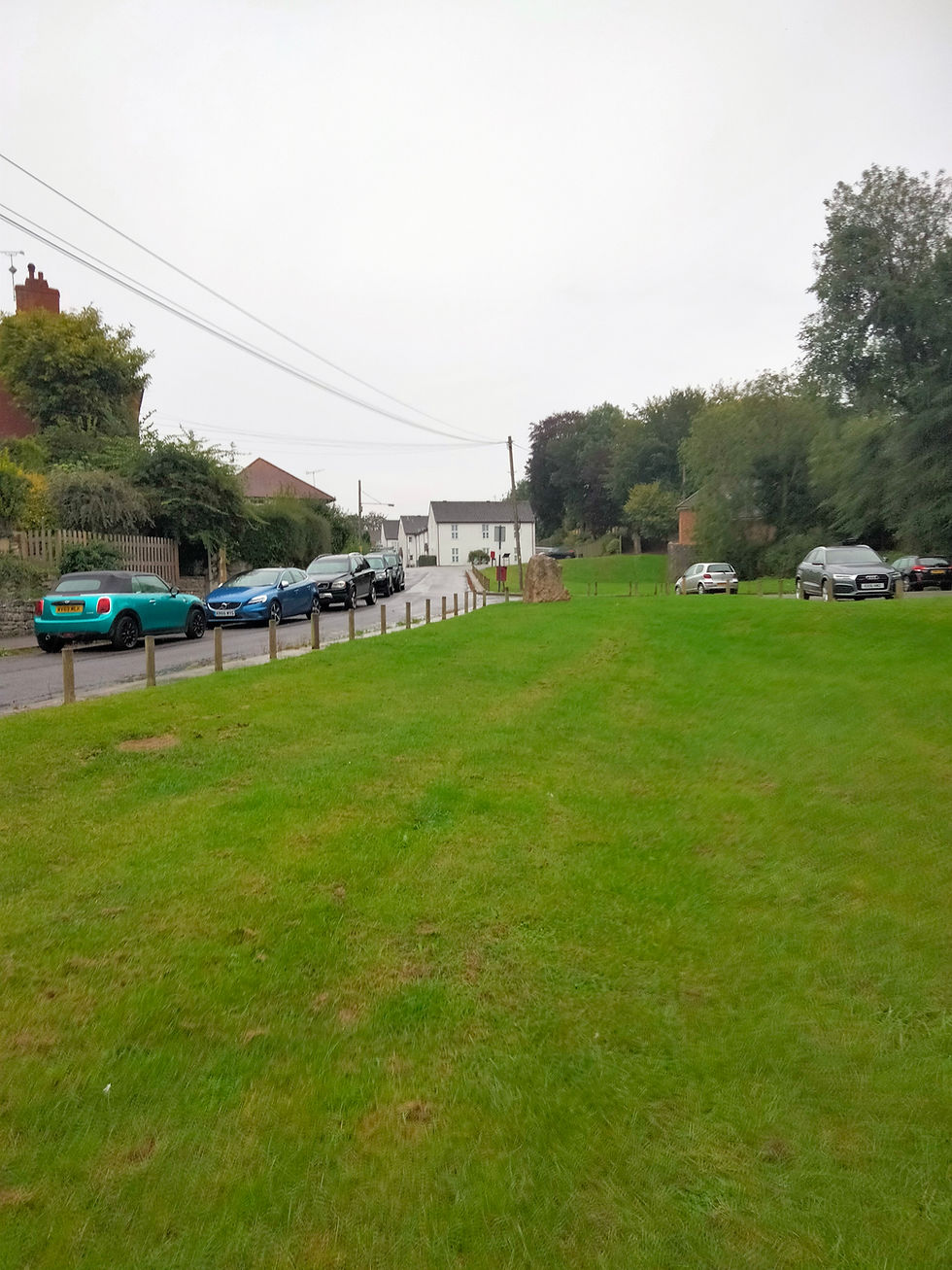
But, tempted as I am to linger and macfarlanate, I need to press on. The rain is now pattering down steadily on the top of my hood. I cross a field with calm horses, emerge through woods onto the streets of Chiseldon, and am greeted by the first great stone of the journey at the end of the village green.
Chiseldon is an ancient settlement, initially centred on its wooded spring - the Washpool. It is quite an atmospheric spot and one can easily imagine its attractiveness to prehistoric people. The largest collection of Iron Age cooking pots ever excavated in Europe was found here. On the edge of town there is a farm shop with large square cafe attached. It seems a popular social nexus for the locals but, despite the cold and wet, I decide against stopping for a coffee and set off due south along the Roman Road running parallel to the A346.
The Romans knew how to plot a good road and the next couple of miles along the wooded path are swift and easy underfoot, if not outstandingly scenic. Despite the gathering rain there are a few joggers and cyclists out, all heading in the opposite direction. About half way along I pass the site of what appears to have been an extensive WWI army camp - just empty fields now - and eventually arrive at my Westward turn along the Herepath.
I get a text from David at Blick Mead telling me that the trench is flooded and work on it has been temporarily abandoned. Certainly the rain here, though varying in intensity, has never let up. Fortunately, I am still patchily protected by the enclosed nature of the path, which now starts its slow ascent towards Barbury. According to my OS Explorer I am fairly surrounded by tumuli, stray stones and other marks of prehistoric presence, most of them hidden away in inaccessible fields.
Emerging briefly onto a clearing in front of farm gates I check the time before proceeding on along the fringes of a plantation. It is 11.45 and I am pretty pleased with the pace I have kept up, though the climb immediately confronting me looks both steep and exposed. There is the startling report of distant gunfire from up ahead. Down below is a shooting school. I begin the steady tramp up Burderop Down, named after the Commander of the Camp whose site I passed earlier. My foot wear is now sodden and, despite the waterproofs, so is the top of my shirt. For the first time I feel discouraged. The views from up here should be splendid, but are obscured by a thick grey pall spreading in all directions.
Still pursued by the sound of guns, I descend through fields and cross a road into Barbury Country Park. The overhang of the brick toilet block affords the last solid shelter I expect to encounter before Avebury. I sit on the bench, change my socks, and have a sort of lunch - a Mars Bar, a packet of crisps, an apple and a few mouthfuls of water. It is 12.30. Across the track from me there are a few parked cars and soon a dog-walker in tropical shorts appears. The weather evidently holds no terrors for him, despite the fact that it is now sheeting it down in a howling wind.
After half an hour there is the tiniest sign of a slackening in the downpour and I heave myself up to have a look round the hill fort. The Iron Age earthworks are certainly impressive, both in scale and design. The path wanders right through the middle of the deep cut double ditches, the ramparts of which would have afforded the most excellent lookout over the surrounding countryside.

According to Wikipedia, "the area was a favourite haunt of...Richard Jeffries, who lived an hour's walk away at Coate." I actually passed Jeffries' cottage at the very start of this excursion and it has taken me three and a half hours to get from there to here a pied. Presumably he didn't take the Roman Road, but used the more direct Ridgeway path that curls down from Chiseldon. It is the southbound Ridgeway I join now as I continue out over Hackpen Hill to Avebury.
I have, in the past, considered walking the Ridgeway in its entirety, but must say I find this particular two hour sample a bit uninspiring. Of course these are not the best conditions in which to experience it. Visibility is poor and there is little guarding the broad white way from the assaults of wind and water. The latter runs across the chalk, creating an almost glassy surface beneath the already slippery veneer of yellowish mud. Somehow, I manage not to tumble, even when descending into hollows, but often I have to revert to the grass banks or edge very cautiously along the side of deep pools. About half way along, I stop for a brief chat with a cheery middle-aged walker headed in the opposite direction. He must have departed from East Kennet about the same time I left Barbury. With a bit of luck he should be dry and in Swindon before dusk. I think we are both encouraged that our interlocutor doesn't appear to think us mad.
After what seems an age, I arrive at the turn off for Avebury. The wooden sign is so rotted that I can't make out the distance, but surely it cant be more than a mile. I call my brother to let him know my location. The path - still wide and treacherous - plunges down towards some farm buildings where ahead there is the rather quaint and reassuring sight of small green mounds covered with stoical, sodden sheep. Passing them, one suddenly - startlingly - stumbles upon the first of Avebury's stones, jutting out of the bank like dislocated teeth. As one walks towards the village centre, they proliferate crazily, exhilaratingly, on both sides of the road. No time to look at them properly now, as I can see my brother, Andrew, waiting patiently to pick me up outside The Red Lion. I was hoping to enjoy a pint there before a leisurely walk around the complex, but today the elements get a vote. Time for company, warm water, hot food and a soft bed.
It will be a full day tomorrow...


You describe "stoical, sodden sheep". You at least equalled their stoicism on the day you described.
Meanwhile check the heading of this piece for typos!
And to venture a suggestion given that I know something of you, why not Typee Fen?